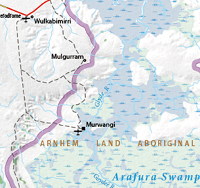
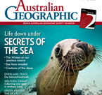
This map for Australian Geographic magazine highlights the ecological fragility of one of Australia’s pristine wetlands – mapping vegetation zones and signs of encroaching civilization, including homesteads, airfields, and salt pans. The research conducted by vW Maps compiled material from Australian and U.S. sources and a regional agency, the Northern Territory’s Dept. of Natural Resources, Environment, The Arts and Sport.
Australian Geographic has since hired vW Maps to make seven more maps for a subsequent issue.

