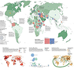
We are awash in data. The challenge is to find, collect, and map it so that it tells your story and convinces your audience. Working in all traditional and new media spatial formats, vW Maps has been transforming information into meaningful, beautiful and convincing maps and data since 1994.
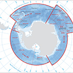
With extensive expertise in many spatial and geographic fields, we focus on problem-based thinking based on a deep understanding of current capabilities and evolving technology trends. We can help you discover the right solutions whether it concerns data acquisition, cleaning or processing; Open Data policies and good practice; virtual cities based on GIS, BIM, and CAD; and the sensors in the Internet of Things and the APIs that connect them.
Whether we work closely with you or manage your project as a fully outsourced solution, vW Maps will clarify your geospatial questions, turn your data into information and knowledge, and help you tell your story in the most compelling way possible.