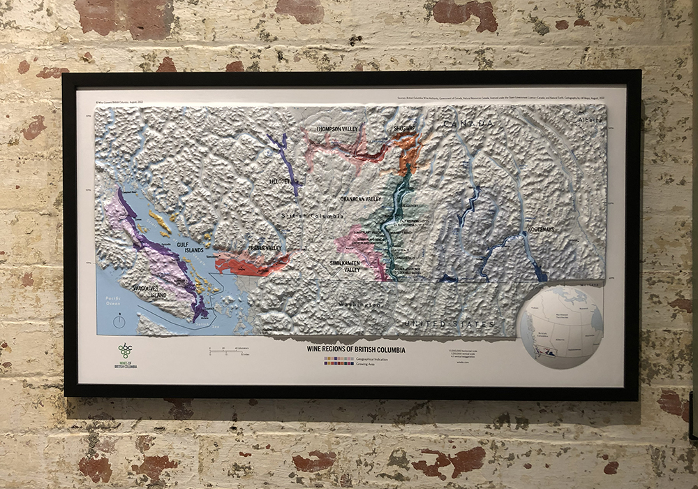
From the mild, maritime climate of the Gulf Islands to the continentality of the Shuswap, British Columbia can boast of a great variety of climates, soils, and styles of wine. Wine Growers British Columbia wanted to explain the topographical features of southwest Canada that shape the wines of its far-flung wine-growing regions.
The province is home to nine geographical indications, most of them only a few decades old. Within these are twelve smaller regions (also geographical indications), many of which were only declared in 2022. To share this news, WGBC asked vW Maps to create a map to showcase the 21 GIs in the form of a striking, easy-to-understand graphic that would complement the visual language of their marketing material.
We mapped the wine regions onto a 3D relief map so that the influence of British Columbia’s topography on its wines can be easily explained. Now 300 copies of the terrain model, measuring about 81 by 43 centimetres, adorn the walls of wineries and cellar doors where map readers can interact with the map with their eyes, minds and fingertips.
The maps were beautifully printed by Summit Terragraphics.
Wine GIs of BC
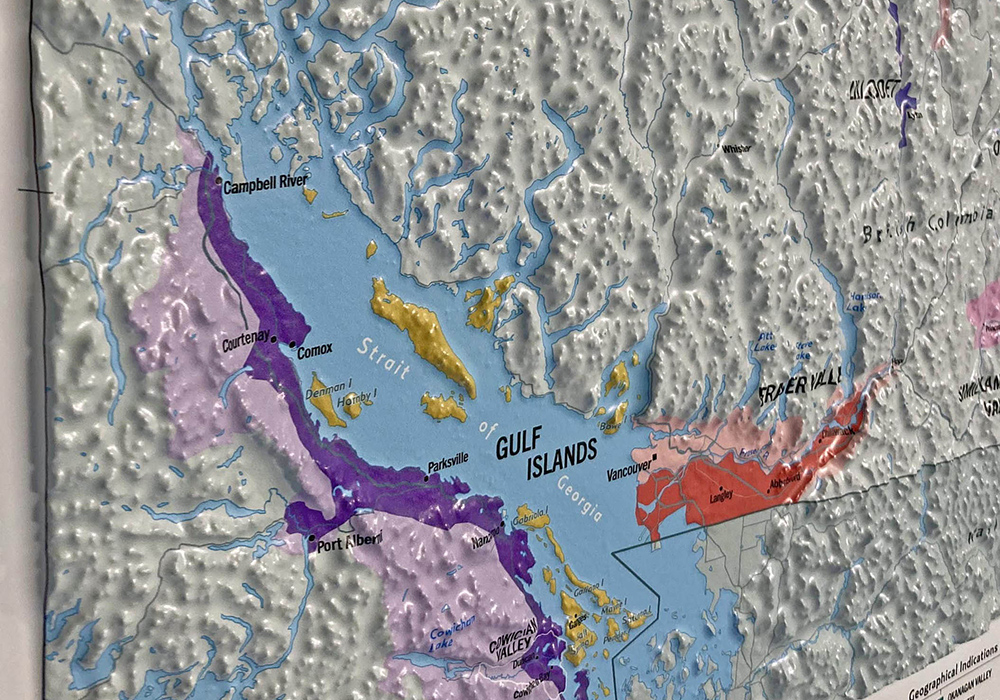
Strait of Georgia
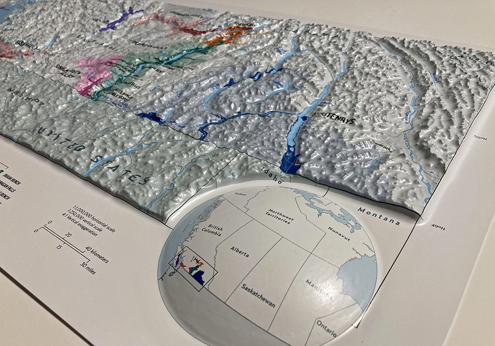
Globe inset